Road to Hana itinerary: 4 days for a first trip
A 4-day Road to Hana itinerary that takes the drive slowly instead of in one rushed day: Pāʻia, the rainbow eucalyptus and Twin Falls; the Garden of Eden Arboretum, the Keʻanae Peninsula and the black sand at Waiʻanapanapa; Hana town, the red sand cove and Wailua Falls; then the Pīpīwai Trail to Waimoku Falls, ʻOheʻo Gulch and the long way home past Kaupō.
Every stop sits on one map, colored by day, so you can see where each waterfall and beach falls along the highway. It's one of the sample trips inside the Wanderjoy app, so you can open this exact plan on your iPhone with code HANA and change anything. Check the state park and national park sites before you go.

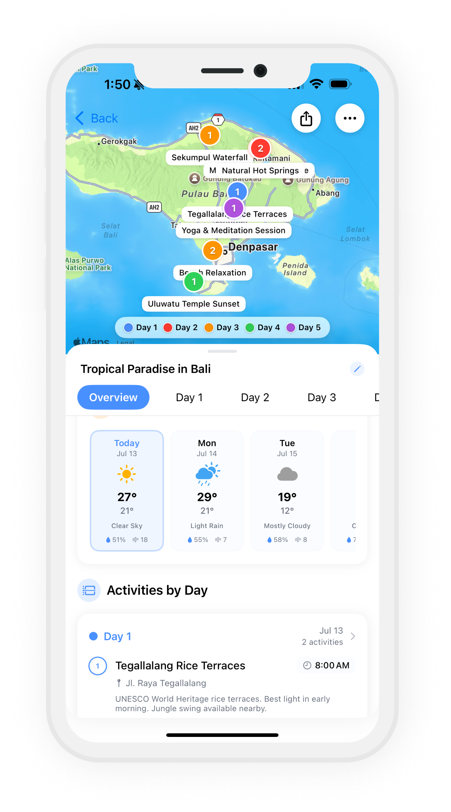
The whole plan on one map
One color per day. Pick a day to see just its route.
Day by day
Day 1Pāʻia · Mile Marker 7 · Mile Marker 2
Pāʻia Town Fuel-Up7:00 AM
Last real town before the highway — gas up here (there's no station again until Hana) and grab breakfast and picnic supplies at Kuau Store.
Rainbow Eucalyptus Grove9:00 AM
Use the wide dirt pullout and watch for traffic.
Twin Falls10:30 AM
First waterfall of the drive: an easy 20-minute walk to two swimmable falls.
Day 2Mile Marker 10.5 · Keʻanae · Waiʻanapanapa State Park
Garden of Eden Arboretum8:30 AM
Keʻanae Peninsula11:00 AM
Waiʻanapanapa Black Sand Beach2:00 PM
Jet-black sand, sea arches, and a freshwater cave pool.
Day 3Hana · Kaihalulu Bay · Hana Hwy
Hana Town & Hasegawa Store9:00 AM
The 1910 general store is the town's living room — snacks, poi, and the famous t-shirts.
Kaihalulu Red Sand Beach11:30 AM
A hidden cinder-cove where the crumbling red crater wall meets deep blue water — one of the few red sand beaches on Earth. The clifftop path is short but sketchy when wet; wear real shoes.
Wailua Falls3:00 PM
An 80-foot ribbon of water right beside the road — the easiest big waterfall photo of the whole trip. Park in the pullout past the bridge and walk back along the guardrail.
Day 4Kīpahulu · Piʻilani Hwy
Pīpīwai Trail & Bamboo Forest8:00 AM
The best hike on Maui: 4 miles round trip through a creaking bamboo tunnel to 400-foot Waimoku Falls.
ʻOheʻo Gulch (Seven Sacred Pools)11:30 AM
Tiered pools cascading straight into the ocean, a short walk from the Pīpīwai trailhead.
Backside Drive via Kaupō1:30 PM
Loop home the 'forbidden' back way: raw lava fields, empty ranch land, and the lonely Kaupō Store.
Plan your own Road to Hana trip
Different dates or a different pace? Wanderjoy drafts a plan around yours.
Get this trip on a map in the app
Install Wanderjoy and import trip code HANA: this exact plan opens in the app, ready to change.
On a computer? Open the trip page for a QR code to scan with your iPhone.
Questions
- How do I open this Road to Hana plan in Wanderjoy?
- Install Wanderjoy, then import trip code HANA. The same 4-day plan opens in the app with every stop on the map, and you can change it from there.
- Can I change the plan?
- Yes. Add, edit or reorder stops, switch days around, and keep trip notes next to the plan.
- Can Wanderjoy make a different Road to Hana plan for me?
- Yes. Give Wanderjoy your dates and how you like to travel, and it drafts a day-by-day Road to Hana itinerary on a map for you.
